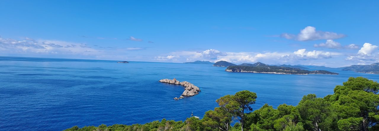

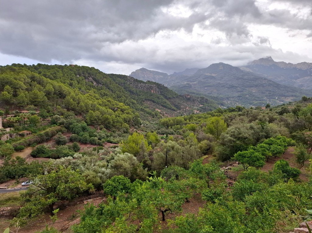
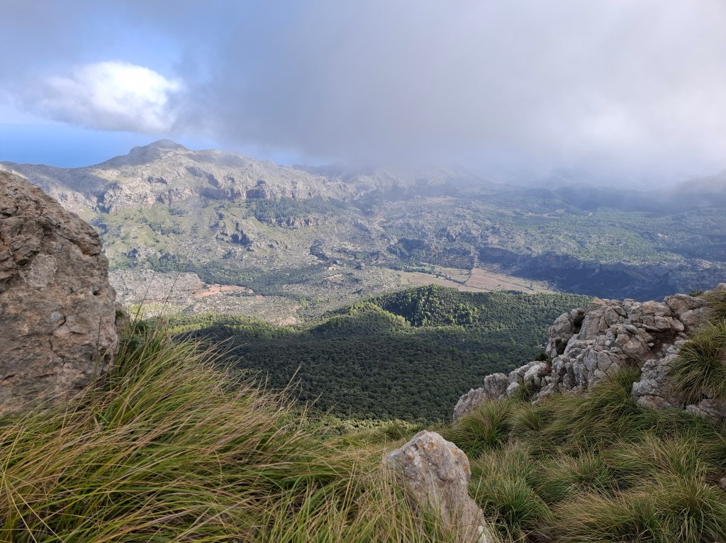
The Serra de Tramuntana is a mountain range in Majorca. Its sun, sand and well developed tourism is probably what the island is better known for. Tramuntana crosses the entire south west to north east coast of the island. It forms the backbone of the island and supports the rest of Majorca in various ways. For its unique cultured landscape it was awarded UNESCO world heritage status. Amongst other things its use of irrigation for farming, cultivation of citrus fruits, olive groves and its plant and animal life.
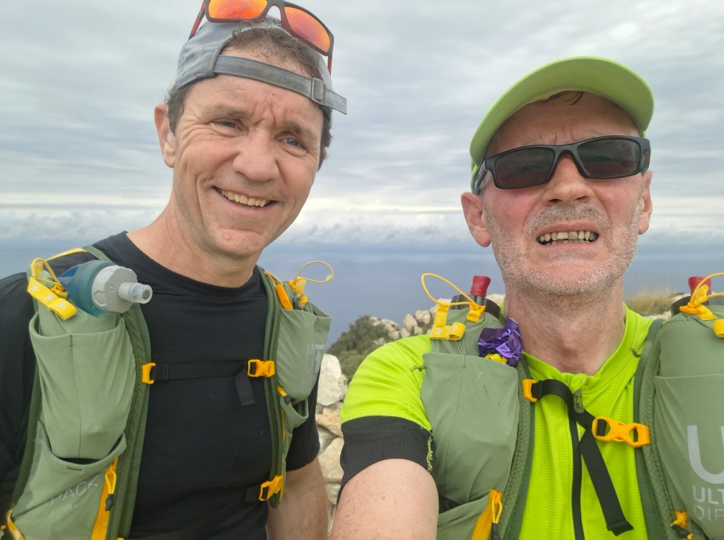
Cammie, my regular running companion, asked if I would like to accompany him on what is called the dry stone route. Known in Spanish as ‘Ruta de Pedra en Sec‘ it follows the entire Tramuntana range. Under the European long distance walking routes it is designated GR221. Doing this in early September would be a stark contrast to the much colder conditions of Scottish mountains that we were used to. There, even in summer, you have to be prepared for snow and ice! Majorca would be different in that regard!
There are a number of towns that nestle within the range. Either on the coast or in inland valleys. They are accessible by bus or car from Palma, the island’s capital. It gives a good impression of the stunning landscape. However getting into the mountains we would see even more of what the Serra de Tramuntana has to offer.
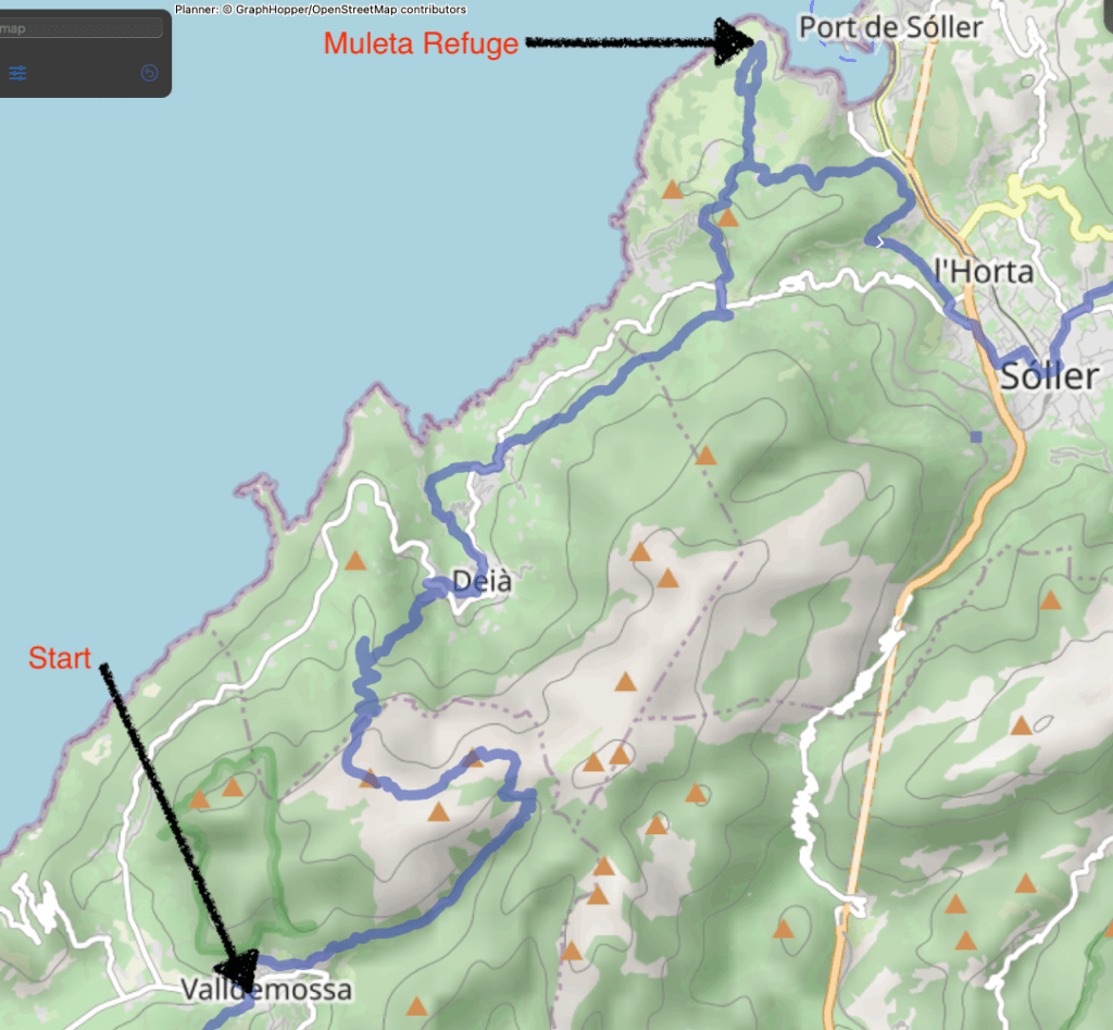
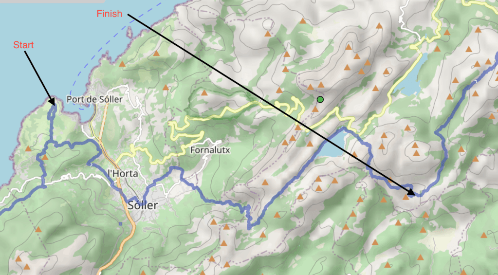
Cammie had already done the first 35% or so of the trail on previous visits and wanted to complete the whole route. Our plan was simple. Fast hike/ run from Valldemossa to the north east end of the trail in Pollenca. We planned to take 3 days to cover the roughly 90-100 km. I say ‘roughly’ as the accuracy of our GPS watches were questionable. Considerable differences between us and also from the official route. We also had a few detours and despite a generally well marked trail we did get lost a few times. In addition there are variations to the route.

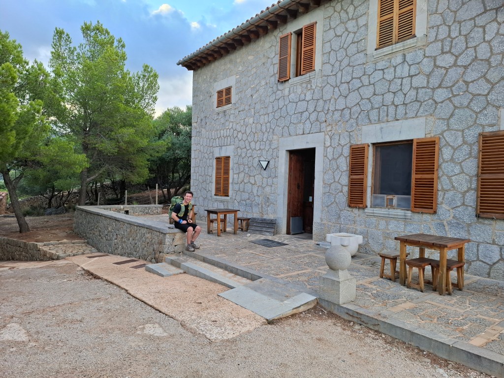
Our thinking was to overnight in what are known as ‘refuges’. They are strategically located all along the route. We would arrive unannounced. In the event there was ‘no room in the inn’ our back up plan was to ‘bivvy’ outside. Short for bivouac a ‘bivvy’ is a simple bag you can sleep in rather than use a tent. The refuges are somewhat like the outdoor hostel network found in UK and mountain huts elsewhere in Europe. Simple dormitory accommodation with shower and washing facilities. Basic meals were also on offer for extra. Good value for money. The perfect place to arrive at after a long day outside.
Plan was to use a similar formula as previous multi days we had done together. Carry approx. 8kg rucksacks. That weight seems to suit running when you can and fast hiking when you can’t. Not a race mentality. Leave enough time to ‘stop and smell the roses’. However we were still aiming to go further than a hiker does in a day.
One major difference to previous multi days would be trying to move fast in the heat. The temperature was usually above 30C with high humidity. We each carried 1.5 litres of fluid and would replenish wherever we could. It is not called the dry stone route for nothing.
The trail would be passing through several towns or villages that are either in valleys or near the coastline. The general pattern for the trail was up from one settlement and then down to the next. It meant that we could have breakfast in a refuge and pick up lunch during the day in a village.
DAY 1 – Valldemossa to Muleta Refuge (29km)
After an early start from accommodation in the Palma area we took bus to Valldemossa. A relaxing ‘al fresco’ breakfast in the town before commencing. Always good to start well fed!
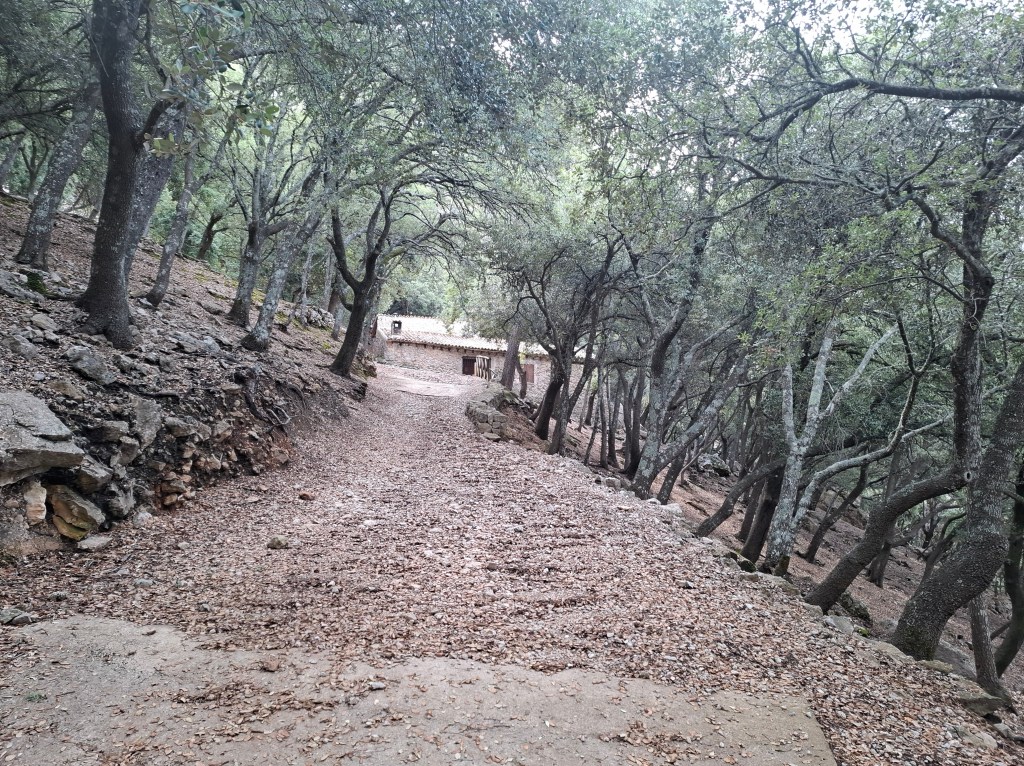
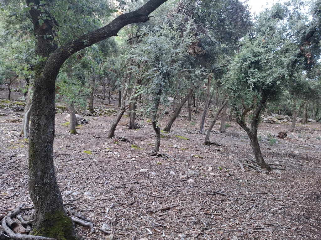
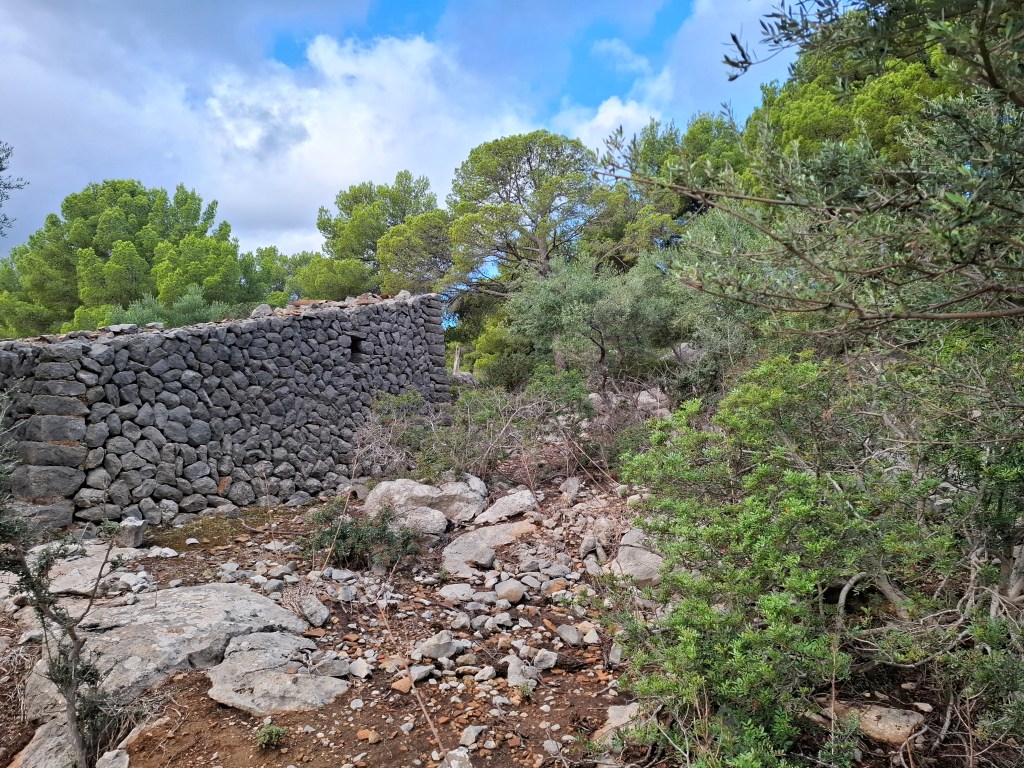
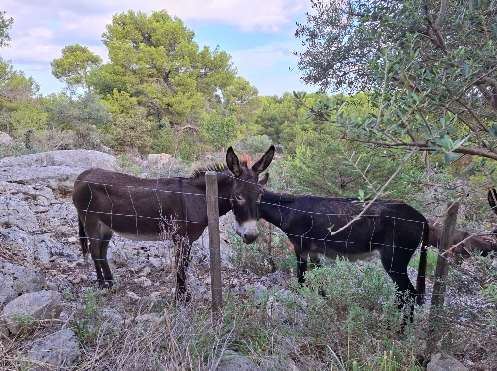
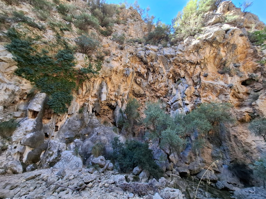
We set off on a road that skirted the edge of the town. Before long we were going through old olive groves. These would sometimes alternate with oak woods. A feature that would be repeated over and over. They would often provide welcome shade from the sun on the lower slopes. It was a reminder that although a quiet part of the island every patch that could be cultivated would be. Often passing through such tree cover there would be rustling noises. Usually goats feeding or less often sheep. Sometimes wearing alpine style cow bells. Occasionally we came across donkeys.
The forecast was for thunderstorms part of the day. Late morning they arrived and for a while the heavens opened. I have rarely seen such heavy rain. In minutes I was soaked to the skin. The ‘dry stones’ became very wet. I was bemoaning the fact I didn’t have my heavy duty waterproofs. However if you want to travel with only 8kg inevitably there have to be compromises. The ‘dry stones’ became very wet. The stoney landscape having little drainage the water cascaded downhill. At one point we took brief shelter in an access tunnel for a well built inside the mountainside.
The deluge was not stopping. We were as wet as can be so decided just to carry on. Descending to the outskirts of Deia, we passed a cafe where we took refuge and had lunch. We were like drowned rats but the manager seemed happy enough with our business. By the time we left the skies had started to show a bit of blue again. For most of the rest of the 3 days we had only occasional small showers.
Suitably refreshed we ascended again, following the typical up and down pattern between towns.

We were headed to Muleta refuge which was on a coastal headland. Arriving late afternoon there was little sign of life. After a while the manager appeared and said there was dormitory space for the night. Due to some ‘no shows’ we could also buy dinner and breakfast which was good. Neither of us fancied making our way into the port of Soller for food.
Aside from a few adult hikers the main other occupants were a bunch of teenagers. Wondering if they would be up late and noisy we were pleasantly surprised. The refuge adopted a strict lights out and quiet policy which were adhered to.
DAY 2 – Muleta refuge to Tossals Verds refuge (34.8km)
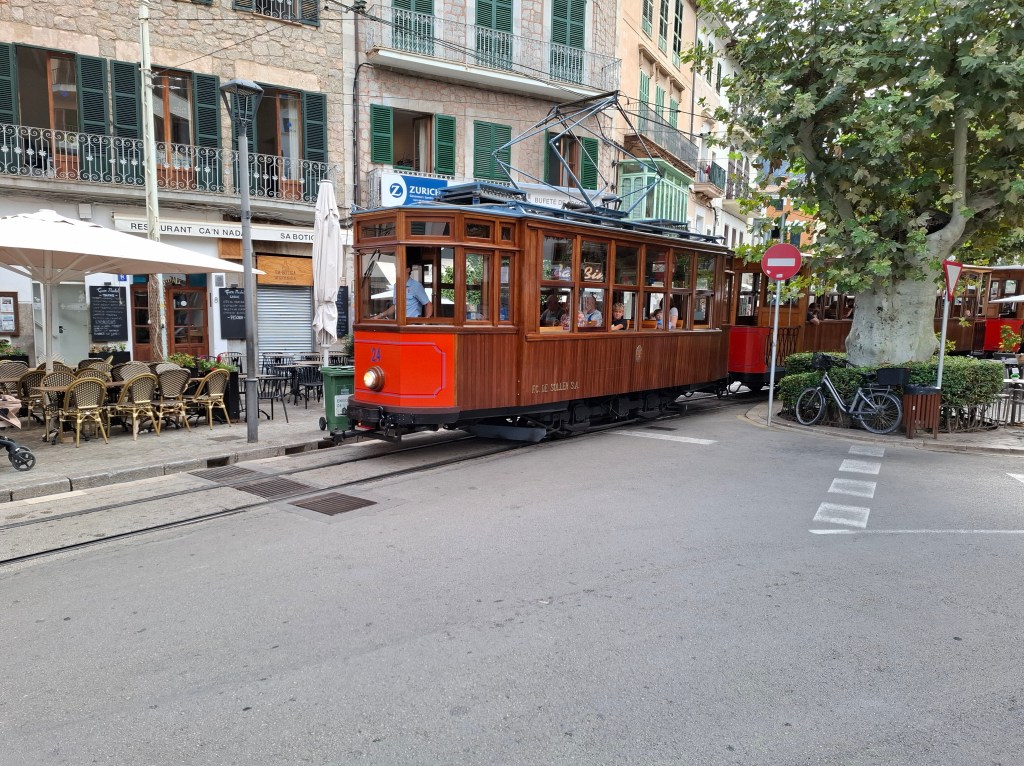
Refreshed and rested we set off after breakfast. Even an 8kg rucksack can feel like a burden! Soon we were into our stride and arrived in the busy tourist hot spot of Soller. It even ran a tram service to the port. Such a contrast from the peace and solitude of the trail.

Leaving Soller we set off up the hillside to Biniarix where we hoped to get lunch. Alas we were disappointed. Everything was shut. Ended up making a 4km detour out and back to Fornalutx, another town. Strangely, this was bustling with tourists. Not sure why the other village was like a ghost town.
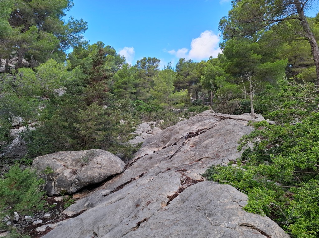
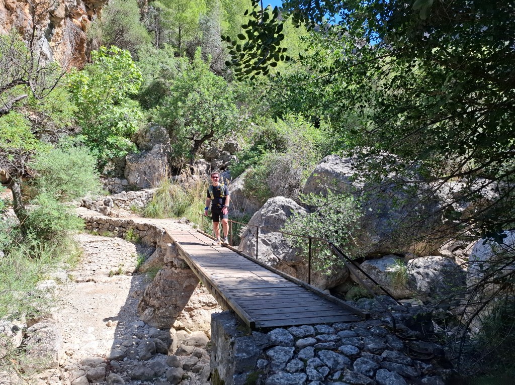
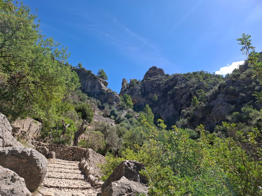
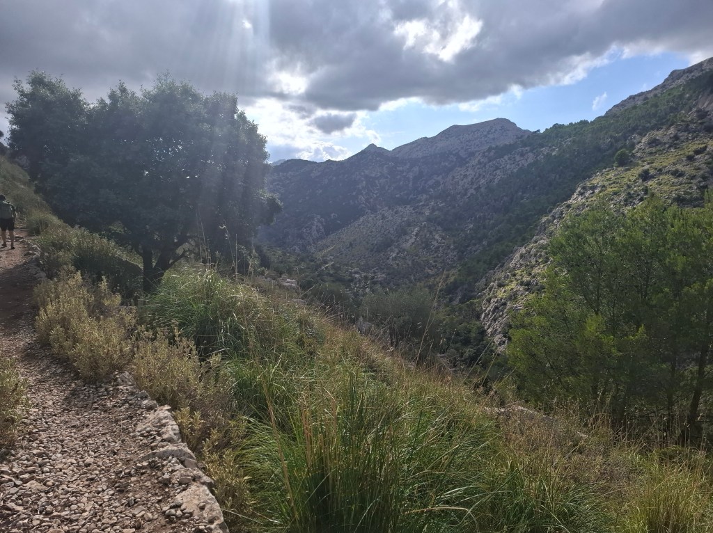
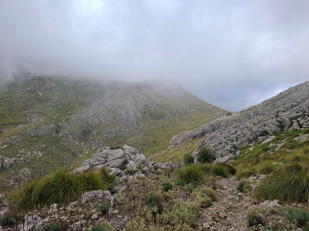
Once we rejoined the trail it was upwards towards an imposing pass at the head of the valley. To an inexperienced climber like me it looked ‘unpassable’. Here the incredible civil engineering of the trail came into play. Steady zigzags made for a slow but steady ascent up the precipitous slope. At last the way ahead widened and we were through onto a plain.


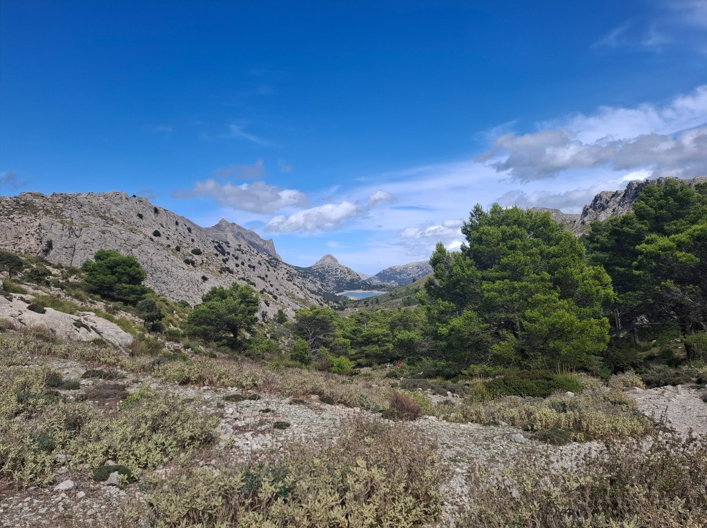
In the distance we could see Cuber reservoir. As if on cue Cammie decided to go for a dip in its rather murky waters. I abstained though enjoyed cooling myself down.
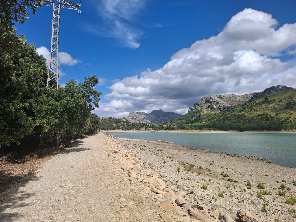
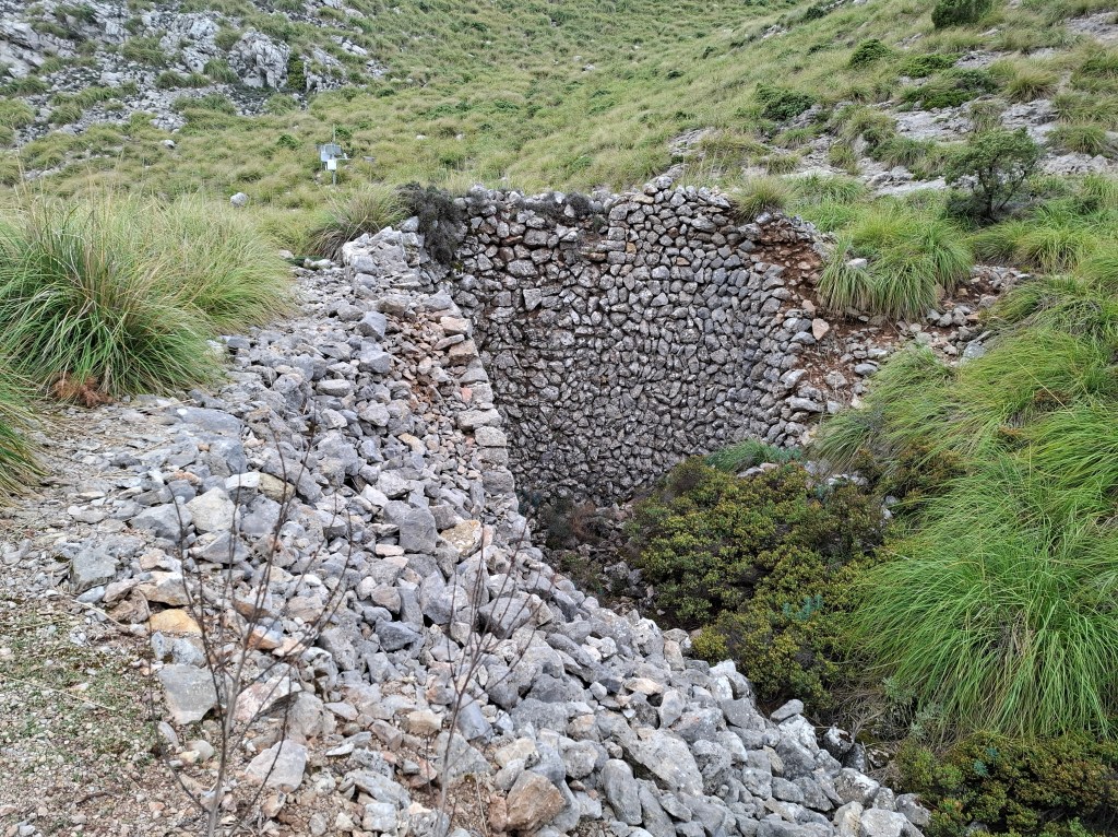
The way water is managed in these mountains is impressive. Stone storage facilities at edges of fields or hillsides and access wells in the mountainsides. Also as we were to soon discover, well engineered aqueducts transferring water.
Leaving the reservoir there were two ways to get to Tossals Verds refuge, our hoped for lodging for the night. The shorter way involved holding onto fixed ropes and scrambling. I was not up for this. I get vertigo and am still suffering from a fall earlier this year. So, much to Cammie’s disappointment and my relief, we opted for the 2.5km longer but less steep way to circle the mountainside. Thanks Cammie!
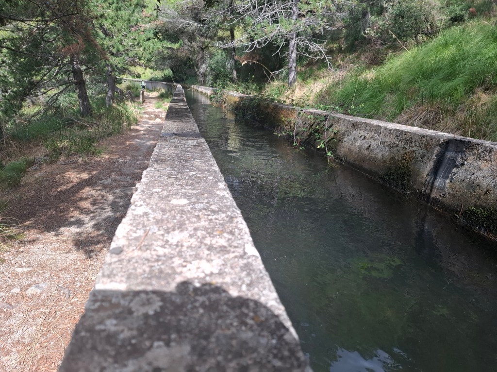
Soon we came to an aforementioned aqueduct. Feeling relaxed on this easier route I thought this was another opportunity to cool down. I took off my cap to scoop up some water with it. Alas my prescription sunglasses were on top of my head. They flew into the water and promptly sank into the depths. I panicked. My alarm increased further as the water was quite fast flowing. My specs were moving along the aqueduct towards some unknown destination! At this point I was very fortunate to have a companion who loves water. Cammie immediately jumped over the aqueduct parapet in a scramble to retrieve my glasses. Amazingly he managed to grab them before they travelled further. Unfortunately with rucksack on his back he lost balance and was about to make a dive into the waters. In a frantic scramble I managed to pull him out legs first. Both intensely relieved we found the whole thing hilarious.
Leaving behind the drama of the aqueduct we made our way to Tossals Verds.

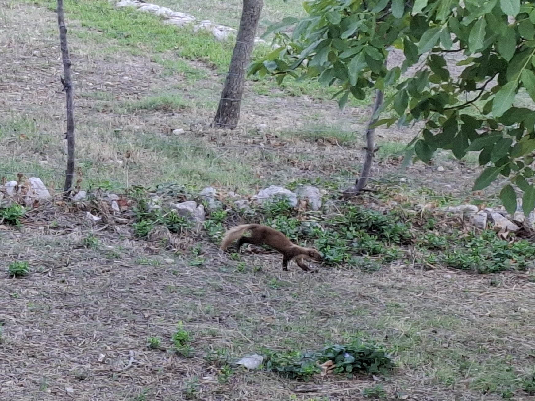
Unlike the first night’s refuge the manager here was initially reluctant to take us in. The refuge was busy with lots of hikers. In addition a contingent of Swedes were there celebrating a birthday. However eventually he relented. Strangely we were offered probably the best accommodation in the place. A twin room instead of a large dormitory! The dinner that night was 2 massive pots of chicken legs shared between about 50 of us. Simple but tasty. We even got to share leftovers with the resident pine martens!
Our meal table was shared with two German hikers Max and Stephan. Stephan had a Scottish link as he had spent a week last year hiking the West Highland Way.
DAY 3 – Tossals Verds refuge to Pont Roma refuge (37.3km)

Apart from the bread the breakfast was almost exactly the same as the previous two days. The Majorcan authorities that run the refuges must have a good deal on a certain ham, cheese and jam. Good staples to keep you going for the day.
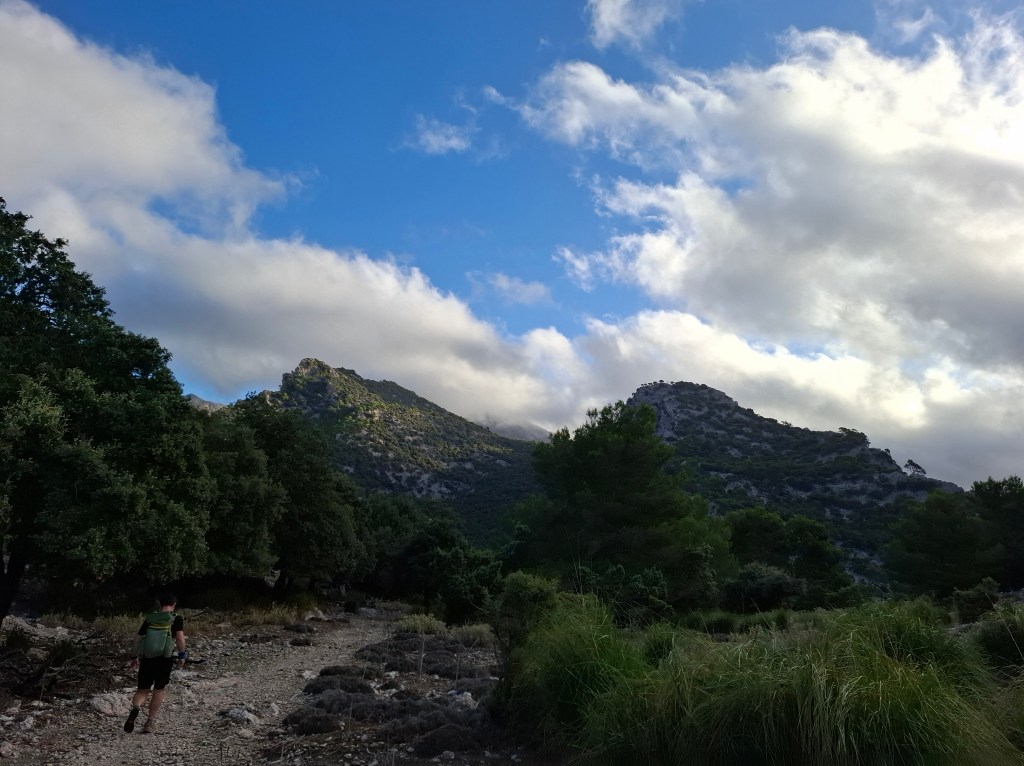

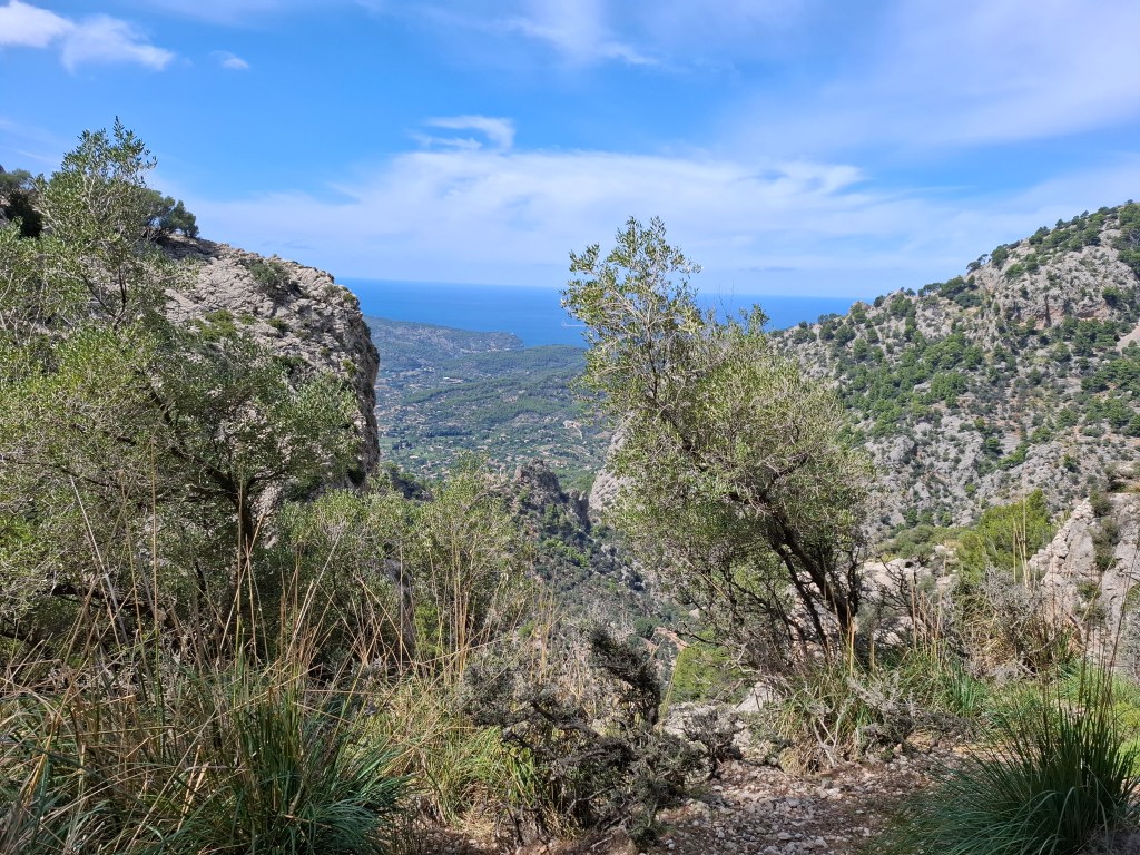
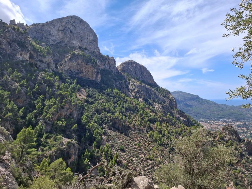
Leaving the refuge we were soon back on the heights and clear of cover. Once again marvelling at the impressive construction and labour involved in making the trail.


There then followed a long, slow descent in the heat towards the plain that led towards Pollenca. Our arrival in Pont Roma refuge indicated the end of our 3 day tour. Once again we were able to get accommodation for the night. No dinner but that was fine as refuge was on the edge of the town.
On one level these 3 days had been an outdoor experience. However we were not really roughing it. One of our dormitory companions was a young man from Denmark. He had completed the trail with a massive 25kg rucksack. Sleeping overnights in the wild away from the trail he hadn’t had a hot meal for 6 days.
A great time in a wild and yet sculpted landscape full of history. Thanks Cammie for inviting me to join you on this beautiful trail.
PLEASE NOTE – Currently, if commenting and wish to be identified, please put your name at end of comment. Otherwise I can’t be sure who you are! Thanks.

what beautiful scenery -and a very enjoyable read of your latest hike/run
Linda Spencer
LikeLiked by 1 person
Thanks, glad you enjoyed it.
LikeLiked by 1 person
Lovely hike. You two are fortunate to have each other for hiking companions.
Mary Fulton
USA
LikeLiked by 1 person
Thanks Mary, you have many great hiking areas too!
LikeLiked by 1 person
Intressant läsning och så olik Idre maraton!👍🤗
LikeLiked by 1 person
Tack så mycket!
LikeLiked by 1 person
Hi Allan
Great to read over our adventure. I thoroughly enjoyed it, and even better to share it with a friend. I did a lessons learned list last night to help improve future experiences.
I noticed your comment ‘we’ got lost a few times!?…the only time any of us got properly lost was running for the bus back to Palma! Missing a sign post and cutting back to it knowing always where we are doesnt really count as getting lost.
Susie, had heard about the rescue incident but had chose not to mention it. It was good foresight from you to have brought your cord!
Packing now for tomorrow’s Ultra!
Catch up soon C
LikeLiked by 1 person
Thanks Cammie, will send you a WhatsApp response.
LikeLiked by 1 person
Very interesting Allan – just as an aside I wonder if the area may be named after the Mediterranean North wind from the Alps that hits it bringing the cold climate:
‘Tramontane (/trəˈmɒnteɪn/ trə-MON-tayn)[a] is a classical name for a northern wind. The exact form of the name and precise direction varies from country to country. The word came to English from Italian tramontana, which developed from Latin trānsmontānus (trāns- + montānus), “beyond/across the mountains”,[1][2][3] referring to the Alps in the North of Italy. The word has other non-wind-related senses: it can refer to anything that comes from, or anyone who lives on, the other side of mountains, or even more generally, anything seen as foreign, strange, or even barbarous.’
Jim Dunn
LikeLiked by 1 person
Hi Jim, thanks for your interesting comment which makes a lot of sense. Might even be true that a couple of Scotsmen could be sen as ‘foreign, strange or even barbaric’!
LikeLiked by 1 person